roadChotana Road
ถนนโชตนา · Thanon Chotana
Route 107 inside the city, named for a highway supervisor in 1950.
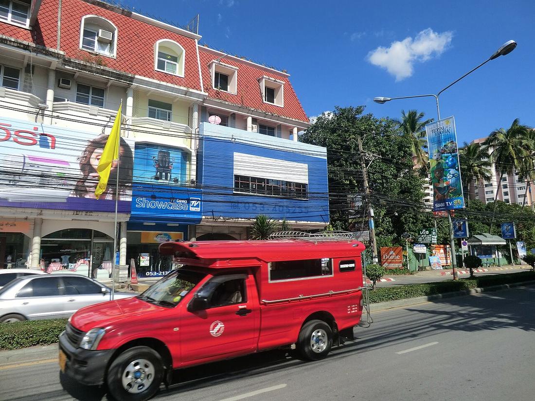 Daibo Taku · CC BY 3.0
107Route
named 1950-12-12opened
from Chang Phueak Gate to Mae Rim
18.8100, 98.9830 · OpenStreetMap · The map
What it is
The city stretch of Route 107 from Chang Phueak Gate north through Khuang Sing to Mae Rim, named on 12 December 1950 after Tim Chotana. The 2024 count at km 9 gave 42,144 vehicles a day and 6,604 motorcycles.
Connected to
- Tim Chotana Who it is named for.
- Route 107, north to Fang The whole road.
- Khuang Sing underpass Goes under the Superhighway here.
Named here by
- Khuang Sing underpass Through it.
- Route 107, north to Fang Its city name.
Where each claim comes from
| Field | Tier | Source | Note |
|---|---|---|---|
| default | cited | ทางหลวงแผ่นดินหมายเลข 107 (ถนนโชตนา) — Wikipedia (th) | |
| text_th | inference | written in Thai by this project, in the northern register where it fits; not machine-translated |
Sources
- ทางหลวงแผ่นดินหมายเลข 107 (ถนนโชตนา) — Wikipedia (th)
- ปริมาณจราจรเฉลี่ยต่อวันตลอดปี (AADT) — open data 2560–2568 — กรมทางหลวง Department of Highways
cited Cited — a named source, linked · harvested Harvested — fetched from an open dataset, with its licence · tradition Tradition — general knowledge of the tradition, hedged · inference Inference — this project's own reasoning from the above · field Field — someone stood there