roadKamphaeng Din Road
ถนนกำแพงดิน · Thanon Kamphaeng Din
A road on the line of a wall, beside the bazaar, with a past.
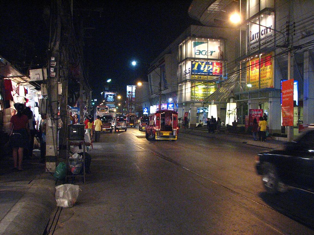 Rinto Jiang · Public domain
18.7850, 98.9985 · OpenStreetMap · The map
What it is
Runs on the line of the earthen outer wall between Loi Kroh and the Night Bazaar; a stretch of the rampart survives beside it. Historically the city's red-light quarter, the ban sao, which the road's reputation still carries.
Connected to
- Kamphaeng Din, the earthen wall The wall.
- Chang Klan Road Its neighbour.
Named here by
- Chang Klan Road Its neighbour.
- Kamphaeng Din, the earthen wall The road on its line.
Where each claim comes from
| Field | Tier | Source | Note |
|---|---|---|---|
| default | cited | ประวัติถนนลอยเคราะห์–ถนนกำแพงดิน — SumUp TH | |
| text_th | inference | written in Thai by this project, in the northern register where it fits; not machine-translated |
Sources
- ประวัติถนนลอยเคราะห์–ถนนกำแพงดิน — SumUp TH
- กำแพงดิน เชียงใหม่ — ทะเบียนแหล่งสิ่งแวดล้อมศิลปกรรม — ONEP
cited Cited — a named source, linked · harvested Harvested — fetched from an open dataset, with its licence · tradition Tradition — general knowledge of the tradition, hedged · inference Inference — this project's own reasoning from the above · field Field — someone stood there