roadNimmanhaemin Road
ถนนนิมมานเหมินท์ · Thanon Nimmanhemin
1.327 km, given away in 1963, and the most expensive strip of ground in the north.
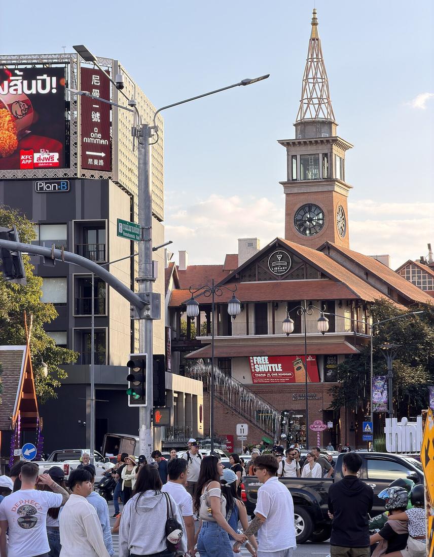 Setawut · CC BY 4.0
from Huay Kaew Road to Suthep Road
18.7975, 98.9675 · OpenStreetMap · The map
What it is
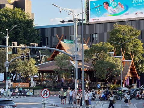
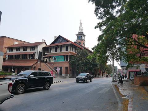
1.327 km between Huay Kaew and Suthep roads, on the edge of the land Ki and Kim Ho Nimmanhaemin gave for the university in 1963. It was later absorbed into Route 11 as the western arc of the first ring, and handed back to the municipality in June 2022. Commercial from about 1987; the Soi 1 festival began 1999; assessed land value in 2019 was 180,000 baht a square wa, about 72 million baht a rai.
The long version
Inference — it is a road named for a gift and priced like a mine. The sois off it are numbered 1 to 17 and each is a small economy; the lane page counts them.
Connected to
- The Nimmanhaemin family Who gave the land.
- Ring 1, the Superhighway ring Its western arc.
- The Nimman sois The seventeen cuts off it.
- Rincome junction Its northern end.
Named here by
- Suthep Road Ends on it.
- Ring 1, the Superhighway ring West.
- The Nimman sois The road.
- Rincome junction Its southern arm.
- The Nimmanhaemin family The road.
- Chiang Mai University The road it produced.
Where each claim comes from
| Field | Tier | Source | Note |
|---|---|---|---|
| default | cited | ถนนนิมมานเหมินท์ — Wikipedia (th) | |
| text_th | inference | written in Thai by this project, in the northern register where it fits; not machine-translated |
Sources
- ถนนนิมมานเหมินท์ — Wikipedia (th)
- ประวัติถนนนิมมานเหมินท์ — Becommon
- ราคาที่ดินนิมมานเหมินท์ 2562 — Thai PBS
cited Cited — a named source, linked · harvested Harvested — fetched from an open dataset, with its licence · tradition Tradition — general knowledge of the tradition, hedged · inference Inference — this project's own reasoning from the above · field Field — someone stood there