ถนนถนนท่าแพ
หนึ่งกิโลจากแม่น้ำเถิงปะตู๋ บนเส้นตี้คนสร้างเมืองขีดไว้
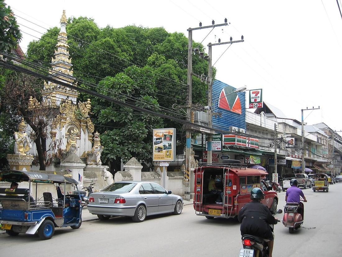 Caspar · CC BY-SA 2.5
จาก สะพานนวรัฐ ถึง ประตูท่าแพ
18.7875, 98.9985 · OpenStreetMap · แผนที่
คืออะไร
จากสะพานนวรัฐผ่านวัดอุปคุตถึงประตูท่าแพ ราวหนึ่งกิโลเมตร บนแกนตะวันออก–ตะวันตกที่วางไว้ตอนสร้างเมือง ที่ดินหน้าประตูคือบ้านเชียงเรือก หมู่บ้านค้าขาย
ฉบับยาว
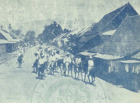
รูปถ่ายปี 2420 เห็นเฮือนแปไม้แบบแพเรียงอยู่ ถึงปี 2544 เหลือหลังเดียว ปี 2432–33 พ่อค้าจีนจากฝั่งตะวันออกสร้างบ้านตึก รถไฟมาถึงปี 2464 ทำให้เป็นถนนการค้า และเฮือนเก่าที่เหลือส่วนใหญ่มาจากยุคนั้น หลังปี 2505 มีตึกพาณิชย์ทุกความสูง สายไฟลงดินปี 2547 ซึ่งเป็นตอนที่ถนนคนเดินย้ายไปราชดำเนิน
ตุลาคม 2567 น้ำปิงล้นตลิ่งและถนนจมจากสะพานถึงธนาคารกรุงไทย
อนุมาน — ท่าแพเป็นถนนสายเดียวในเมืองที่ประวัติทั้งชีวิตอยู่ในบันทึก และมันอ่านเหมือนรายการของสิ่งที่มาจากทิศตะวันออก การค้าทางน้ำ คนจีน รถไฟ น้ำ
เกี่ยวข้องกับ
- ประตูท่าแพ Its head.
- สะพานนวรัฐ Its foot.
- สถานีรถไฟเชียงใหม่ What made it the commercial street.
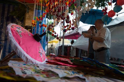
- ถนนคนเดิน และถนนกลายเป็นพื้นได้อย่างไร Began here in 2002.
ถูกอ้างถึงโดย
- ประตูท่าแพ The road it names.
- สะพานนวรัฐ What it carries.
- แผนที่เมือง 2474 Its spine.
- วันที่แม่น้ำขึ้นมาถึงท่าแพ Under water.
- สถานีรถไฟเชียงใหม่ What the train did to it.
แต่ละข้อความมาจากไหน
| Field | Tier | Source | Note |
|---|---|---|---|
| default | cited | ถนนท่าแพ — Wikipedia (th) | |
| text_th | inference | written in Thai by this project, in the northern register where it fits; not machine-translated |
แหล่งอ้างอิง
- ถนนท่าแพ — Wikipedia (th)
- ประวัติถนนคนเดินท่าแพ–ราชดำเนิน — Chiang Mai Municipality
- น้ำปิงท่วมเชียงใหม่ ต.ค. 2567 — Bangkok Biz News
cited Cited — a named source, linked · harvested Harvested — fetched from an open dataset, with its licence · tradition Tradition — general knowledge of the tradition, hedged · inference Inference — this project's own reasoning from the above · field Field — someone stood there