CoffeeThe stall at the top of the climb
เพิงกาแฟบนยอดดอย
A hut, a viewpoint, a dog, and the best twenty minutes of the morning.
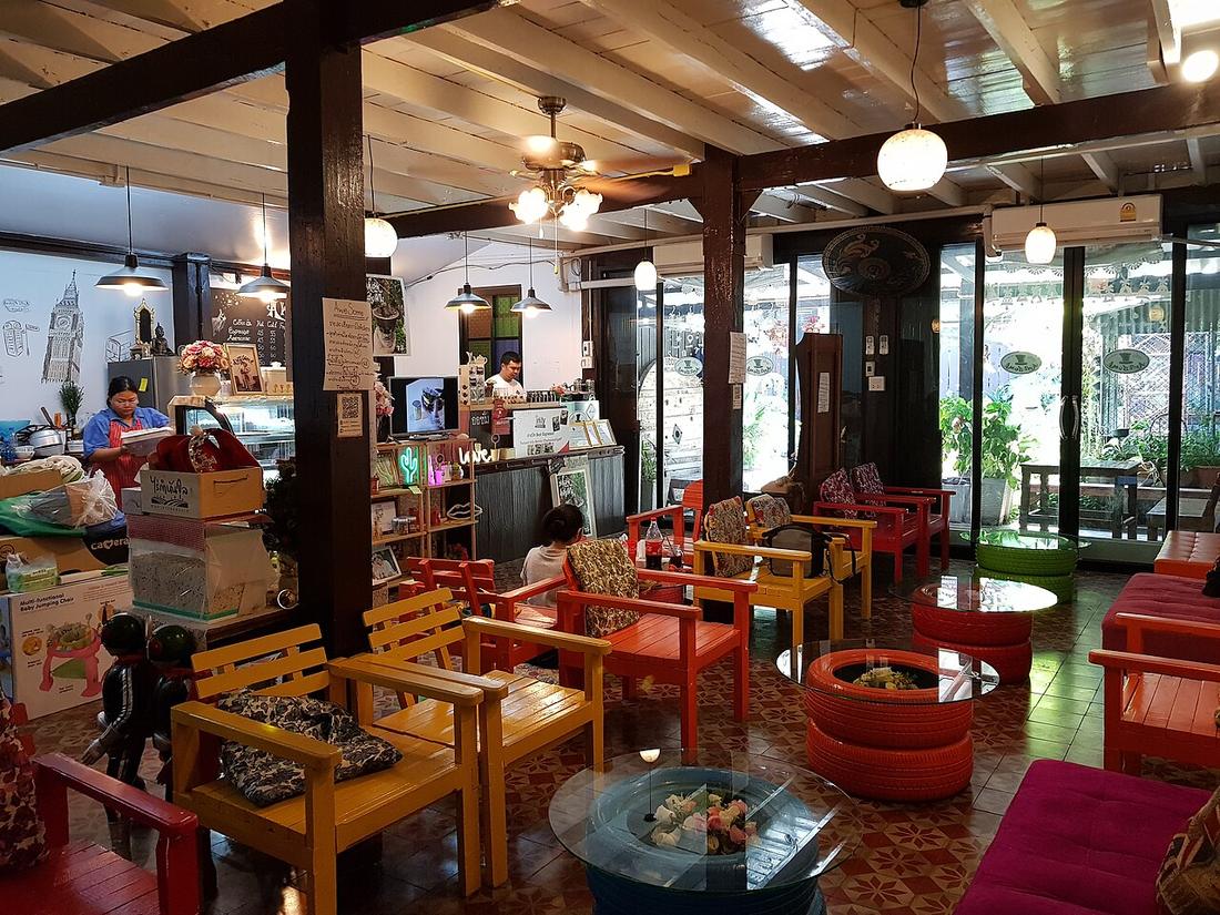 Takeaway · CC BY-SA 4.0
What it is
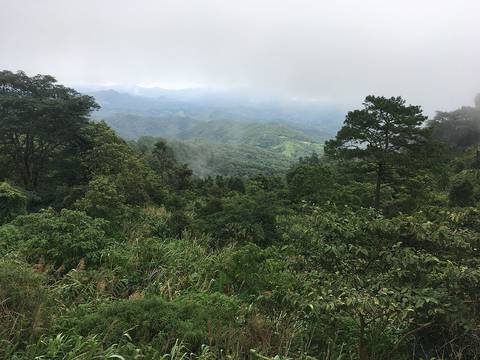
Somewhere near the top of most long climbs on this circuit there is a shack selling coffee, with a bench pointed at the valley.
The long version
Inference — this is the thing to plan the day around. The distance is short and the day is long, and these stops are why.
The pattern is consistent enough to rely on. A climb of any length on 1095, 1263 or 1088 will have a pull-in near the top where the view opens, and where there is a view there is usually someone selling coffee. The coffee is often grown nearby; the view is always free.
What the harvest found: OpenStreetMap has 220 cafés mapped within twelve kilometres of a town on this loop, 188 of them named. That is a floor and not a survey — the shack with three stools and no sign is exactly the kind of place a volunteer mapper has not entered.
Runs with
- coffeeArabica off the ridge you just rode over — What is in the cup.
- coffeeThe 7-Eleven — The other coffee stop, and it is not a joke.
- dishThe morning market — The other thing worth getting up for.
Named here by
- coffeeArabica off the ridge you just rode over — Where you actually drink it.
- coffeeThe 7-Eleven — The one you actually came for.
- hazardAnnoyances — Where you wait out the forty minutes.
- storyThe ten minutes after you stop — Where it usually happens.
Where each claim comes from
| Field | Tier | Source | Note |
|---|---|---|---|
| default | inference | ||
| text_th | inference | written in Thai by this project, not machine-translated |
Sources
- Coffee production in Thailand — Wikipedia (en)
- OpenStreetMap — OpenStreetMap contributors
cited Cited — a named source, linked · harvested Harvested — fetched from an open dataset, with its licence · tradition Tradition — general knowledge of the tradition, hedged · inference Inference — this project's own reasoning from the above · field Field — someone stood there