roadChang Moi Road
ถนนช้างม่อย · Thanon Chang Moi
A gate was removed so this road could run straight to the river.
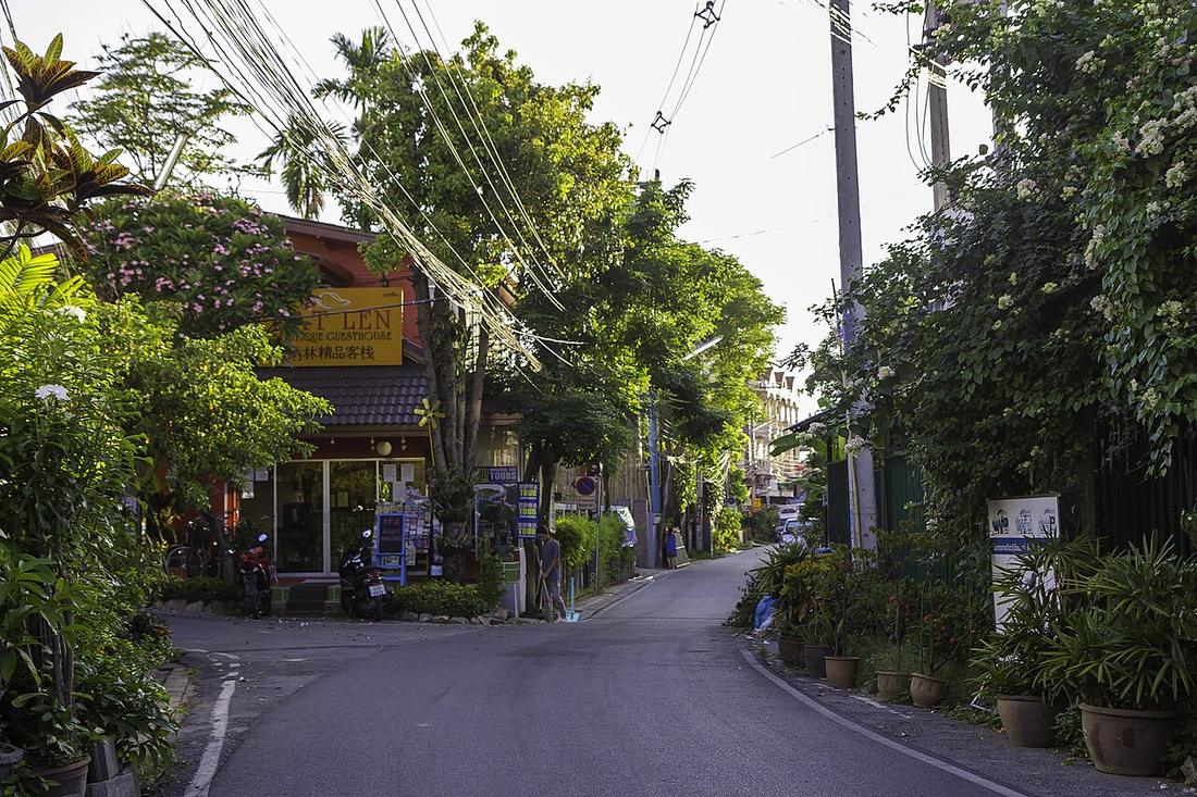 Stefan Fussan · CC BY-SA 3.0
from Chang Moi junction to Ping River
18.7930, 99.0000 · OpenStreetMap · The map
What it is
From the northeast of the wall, beside Wichayanon Road, to the Ping. Between 1910 and 1915 the outer gate and earth bank were demolished and the inner wall pierced so that Ratchawithi Road inside the moat could continue straight along it. Assessed land value in 2016–19 was 180,000 baht a square wa, the fourth highest street in the city.
Connected to
- Chang Moi Gate What was demolished for it.
- กาด kat Kad Luang is at its end.
Named here by
- Chang Moi Gate The road it was removed for.
- The 1890 city map The road it dates.
Where each claim comes from
| Field | Tier | Source | Note |
|---|---|---|---|
| default | cited | ถนนช้างม่อย — Wikipedia (th) | |
| text_th | inference | written in Thai by this project, in the northern register where it fits; not machine-translated |
Sources
- ถนนช้างม่อย — Wikipedia (th)
cited Cited — a named source, linked · harvested Harvested — fetched from an open dataset, with its licence · tradition Tradition — general knowledge of the tradition, hedged · inference Inference — this project's own reasoning from the above · field Field — someone stood there