StopsPai Canyon
กองแลน
Eroded ridges you can walk out along, and there is nothing at the sides.
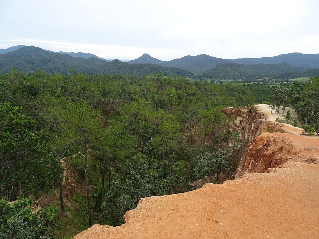 Christophe95 · CC BY-SA 4.0
What it is
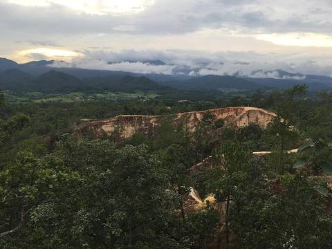
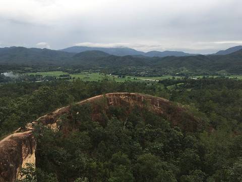
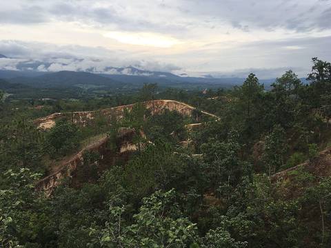
Kong Lan: narrow eroded sandstone ridges on the edge of the Pai basin, walked at sunset by most of the town.
The long version
Inference — ten minutes from Pai on Route 1095, which makes it the last stop of the day you ride in rather than an outing of its own. Go for sunset: the light comes in sideways along the ridges and the whole basin turns orange underneath you.
The ridges are narrow with open drops on both sides and the sandstone is soft. Walk out as far as you feel like and no further — the view from the first fifty metres is the same view.
Runs with
- townPai — The town it is outside.
- legChiang Mai to Pai — The leg it sits at the end of.
Named here by
- watWat Phra That Mae Yen — The other sunset, ten minutes the other way.
Where each claim comes from
| Field | Tier | Source | Note |
|---|---|---|---|
| default | tradition | ||
| text.story | inference | ||
| text_th | inference | written in Thai by this project, not machine-translated |
Sources
- Pai district — Wikipedia (en)
- Pai, Thailand — Wikipedia (en)
cited Cited — a named source, linked · harvested Harvested — fetched from an open dataset, with its licence · tradition Tradition — general knowledge of the tradition, hedged · inference Inference — this project's own reasoning from the above · field Field — someone stood there