จุดแวะกองแลน
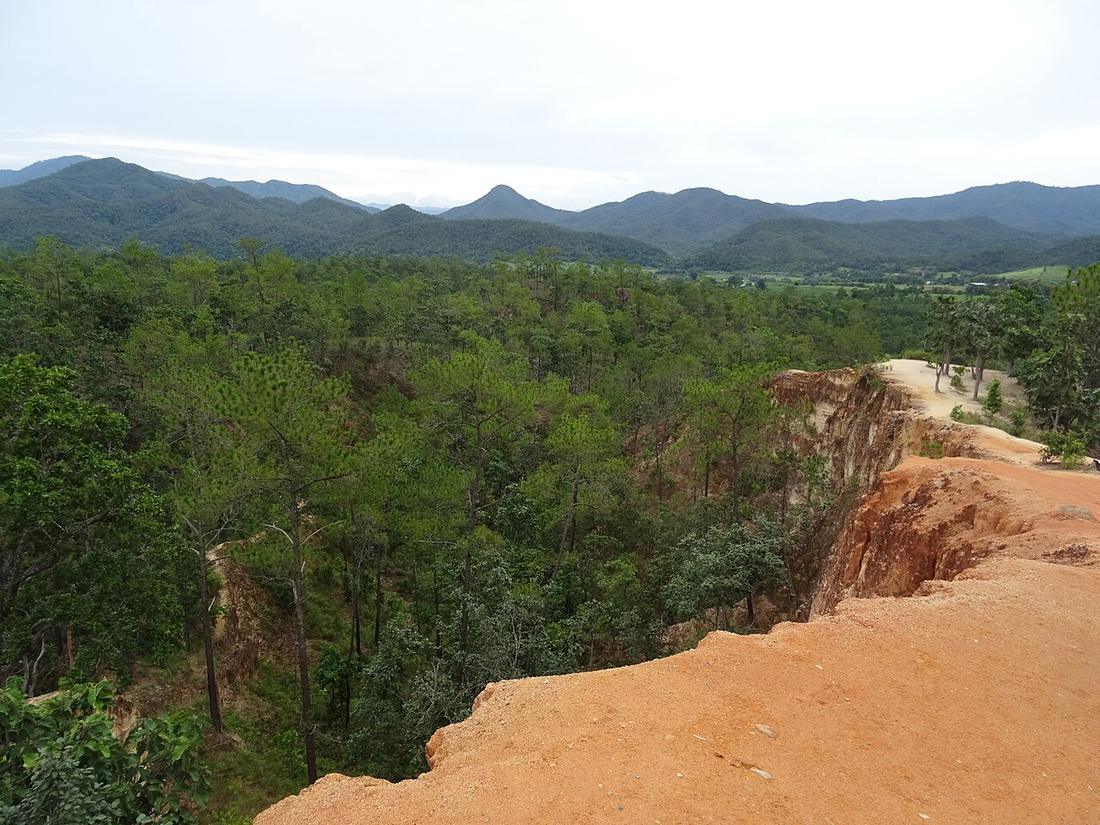
สันดินที่ถูกกัดเซาะ เดินออกไปได้ และสองข้างไม่มีอะไร
บางส่วนของบันทึกนี้ยังต้องการการตรวจสอบ
 Christophe95 · CC BY-SA 4.0
คืออะไร
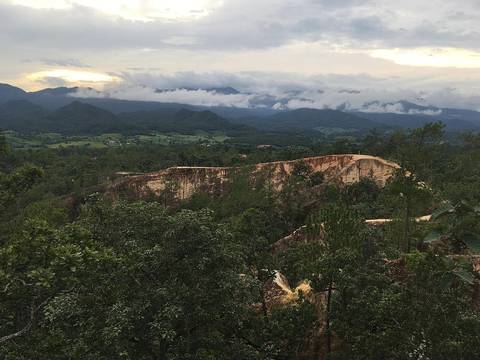
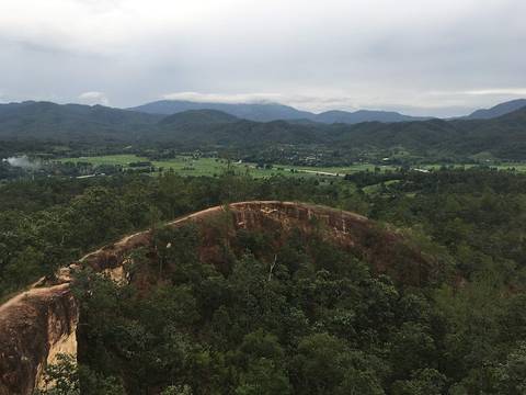
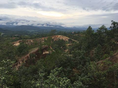
กองแลน สันหินทรายแคบๆ ที่ถูกกัดเซาะ อยู่ริมแอ่งปาย คนเกือบทั้งเมืองมาเดินตอนพระอาทิตย์ตก
ฉบับยาว
อนุมาน — ห่างจากปายสิบนาทีบนทางหลวง 1095 จึงเป็นจุดแวะสุดท้ายของวันที่ขี่เข้ามา ไม่ต้องจัดเป็นทริปแยก ไปตอนพระอาทิตย์ตก แสงจะเฉียงมาตามสันเขาและแอ่งทั้งแอ่งข้างล่างจะเป็นสีส้ม
สันหินแคบ มีเหวเปิดสองข้าง และหินทรายร่วน เดินออกไปเท่าที่สบายใจแล้วพอ วิวจากห้าสิบเมตรแรกก็วิวเดียวกัน
เกี่ยวข้องกับ
- townปาย — The town it is outside.
- legเชียงใหม่ – ปาย — The leg it sits at the end of.
ถูกอ้างถึงโดย
- watวัดพระธาตุแม่เย็น — The other sunset, ten minutes the other way.
แต่ละข้อความมาจากไหน
| Field | Tier | Source | Note |
|---|---|---|---|
| default | tradition | ||
| text.story | inference | ||
| text_th | inference | written in Thai by this project, not machine-translated |
แหล่งอ้างอิง
- Pai district — Wikipedia (en)
- Pai, Thailand — Wikipedia (en)
cited Cited — a named source, linked · harvested Harvested — fetched from an open dataset, with its licence · tradition Tradition — general knowledge of the tradition, hedged · inference Inference — this project's own reasoning from the above · field Field — someone stood there