TownsKhun Yuam
ขุนยวม · Khun Yuam
A small town with a Japanese memorial hall and a yellow hillside above it.
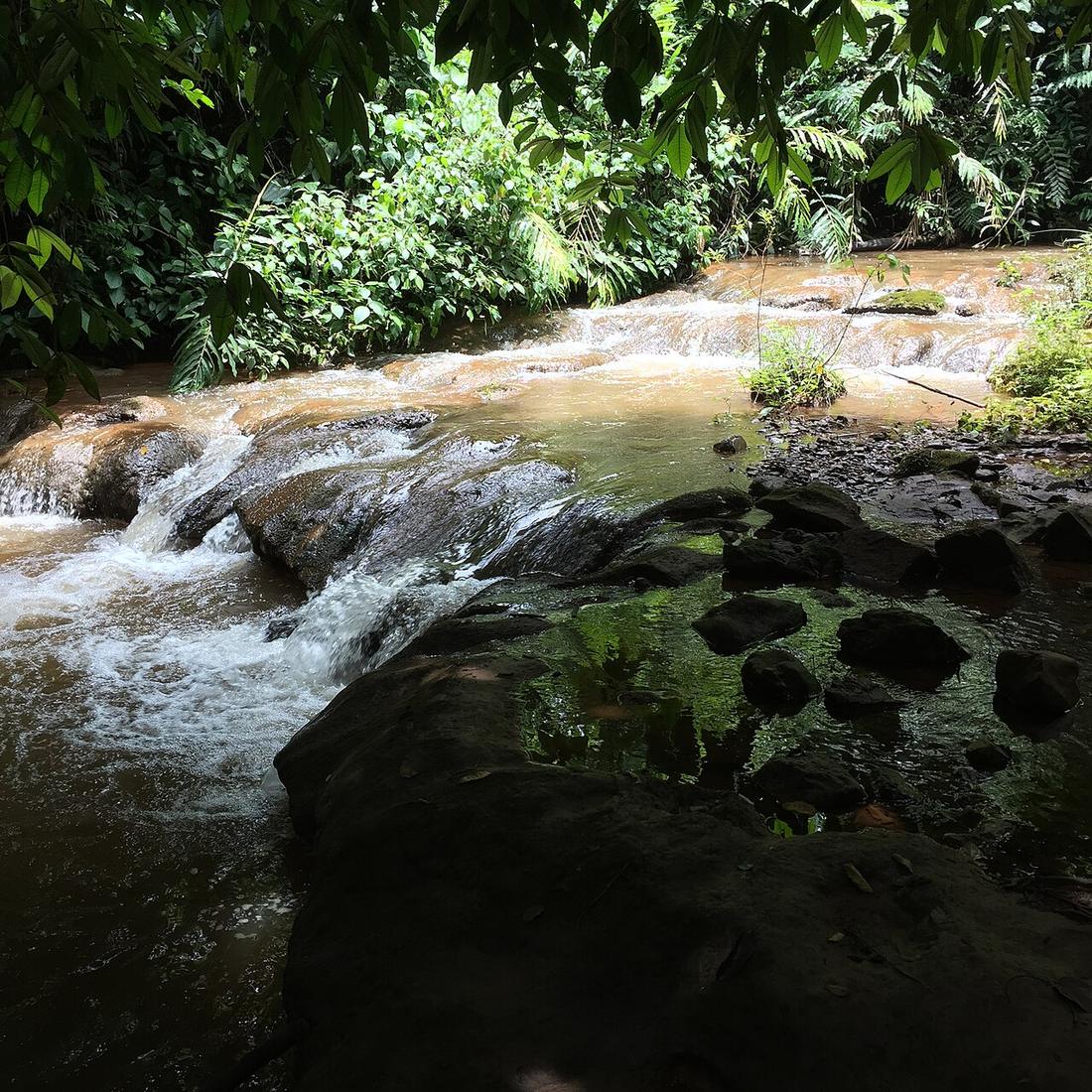 ::::=UT=:::: · CC BY-SA 3.0
What it is
On Route 108 between Mae Hong Son and Mae La Noi, and the western end of the 1263 cut to Mae Chaem. Two reasons to stop, and both of them are specific.
The long version
The first reason is Doi Mae U-Kho above the town, which turns yellow with Tithonia diversifolia in November.
The second is the war. Japanese forces used the route through this district during the Second World War, and the town holds a memorial hall to that period. Inference — what makes it worth the stop is not the military history but the domestic one: the relationship between a Thai town and the soldiers who came through it, which is a much less told story than the campaign.
Khun Yuam is also the junction where the loop can be halved. Route 1263 leaves here for Mae Chaem, 63 kilometres of the steepest and most curve-dense road in this whole network.
Now
Fuel, food, a bed, and the decision about whether to take the cut.
Stay 30
- 1 DIY Resort hotel0.1 km by road +66848086184 Facebook map
- 2 บ้านอิงสระไอหมอก ที่พักขุนยวม B&B0.2 km by road +66936254697 Facebook map
- 3 Ban Farang Guest House & Resort guesthouse0.4 km by road own site +6653622086 map
- 4 บ้านฝรั่ง เกสเฮ้า ขุนยวม hotel0.4 km by road own site +6653051033 Facebook map
- 5 บ้านพักป้าหมู hotel0.4 km by road +6653691035 Facebook map
- 6 Mit Khun Yuam Hotel hotel0.7 km by road own site +66 53691057 Facebook map
30 beds within 6 km: OpenStreetMap (2026-09-19) and Overture Places (release 2026-09-23.1, mostly Facebook business pages), one row where both name the same place. Distance runs over OpenStreetMap streets from Khun Yuam. Beds with a phone or site of their own come first. Not checked or endorsed; an absence here is an absence from those two maps.
Runs with
- eventThe Bua Tong bloom — The hillside above the town, in November.
- legThe 1263 cut — The road that leaves from here.
- stopThe Japanese memorial at Khun Yuam — The hall, and the story it holds.
- legMae Hong Son to Khun Yuam — The way in from the north.
Named here by
- legMae Hong Son to Khun Yuam — The town at the end, and the junction for the cut.
- roadRoute 1263 — The western end.
- townMae Chaem — The other end of the cut.
- stopThe Japanese memorial at Khun Yuam — The town it is in.
- stopMae Surin Waterfall — The town below.
- eventThe Bua Tong bloom — The town underneath it.
Where each claim comes from
| Field | Tier | Source | Note |
|---|---|---|---|
| default | cited | Khun Yuam district — Wikipedia (en) | |
| text.story | inference | the riding conclusions are this project's; the geography and history under them are cited | |
| text.today | inference | ||
| text_th | inference | written in Thai by this project, not machine-translated |
Sources
- Khun Yuam district — Wikipedia (en)
- Thailand in World War II — Wikipedia (en)
- Tithonia diversifolia — Wikipedia (en)
cited Cited — a named source, linked · harvested Harvested — fetched from an open dataset, with its licence · tradition Tradition — general knowledge of the tradition, hedged · inference Inference — this project's own reasoning from the above · field Field — someone stood there