roadHuay Kaew Road
ถนนห้วยแก้ว · Thanon Huai Kaeo
The road to the mountain, and the lower half of Route 1004.
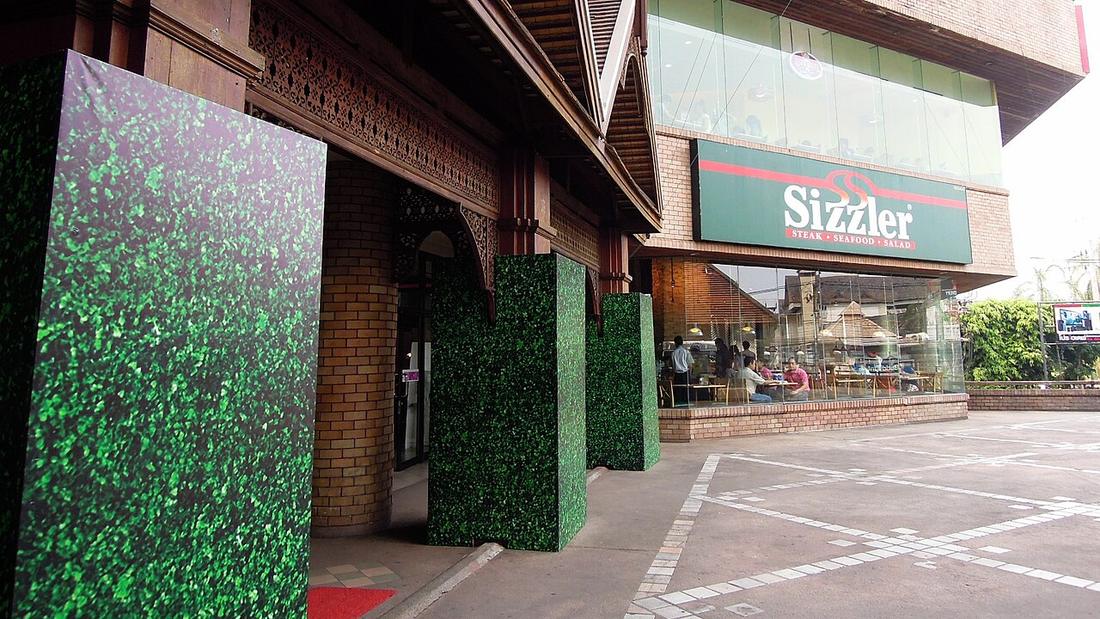 David McKelvey from Brisbane, Australia · CC BY 2.0
1004Route
19.4km
from Hua Lin Corner to Doi Suthep
18.8015, 98.9660 · OpenStreetMap · The map
What it is
From Hua Lin Corner northwest past Kad Suan Kaew, the university gate and the zoo to the foot of Doi Suthep, where it becomes the monk's road. The lower section of Route 1004, Huay Kaew to Phu Phing Palace, 19.4 km in all. The 2024 count at km 4 gave 11,564 vehicles a day plus 2,701 motorcycles.
Connected to
- Si Wichai Road, the road up Doi Suthep What it becomes at the foot of the mountain.
- Hua Lin Corner Where it starts.
- กาด kat Kad Suan Kaew is on it.
Named here by
- Si Wichai Road, the road up Doi Suthep What leads to it.
- Rincome junction Its western arm.
- กาด kat Kad Suan Kaew is on it.
Where each claim comes from
| Field | Tier | Source | Note |
|---|---|---|---|
| default | cited | ทางหลวงแผ่นดินหมายเลข 1004 (ถนนห้วยแก้ว) — Wikipedia (th) | |
| text_th | inference | written in Thai by this project, in the northern register where it fits; not machine-translated |
Sources
- ทางหลวงแผ่นดินหมายเลข 1004 (ถนนห้วยแก้ว) — Wikipedia (th)
- ปริมาณจราจรเฉลี่ยต่อวันตลอดปี (AADT) — open data 2560–2568 — กรมทางหลวง Department of Highways
cited Cited — a named source, linked · harvested Harvested — fetched from an open dataset, with its licence · tradition Tradition — general knowledge of the tradition, hedged · inference Inference — this project's own reasoning from the above · field Field — someone stood there