roadSi Wichai Road, the road up Doi Suthep
ถนนศรีวิชัย · Thanon Si Wichai
Five months and twenty-two days, 11.53 km, no machine.
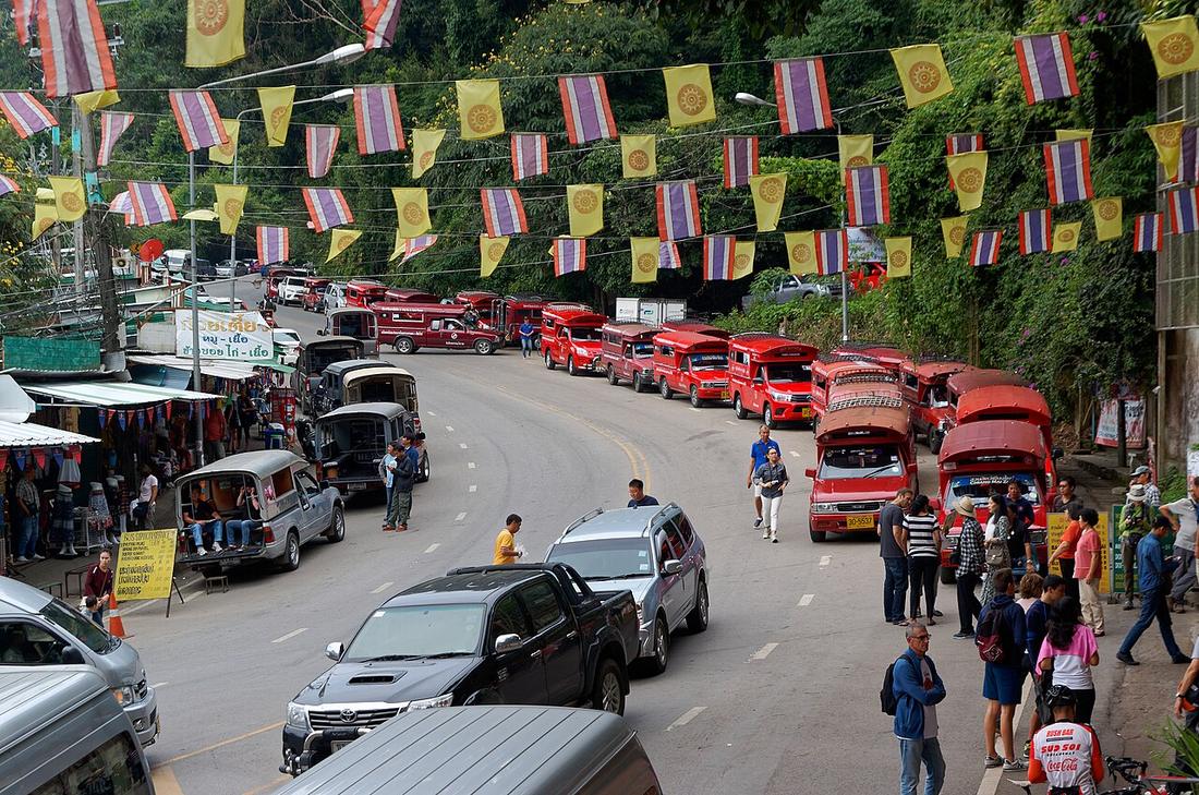 Jakub Hałun · CC BY-SA 4.0
from Kruba Srivichai monument to Wat Phra That Doi Suthep
18.8100, 98.9350 · OpenStreetMap · The map
What it is
The upper half of Route 1004, from the Kruba Srivichai monument at the foot of the mountain to Wat Phra That Doi Suthep. Ground broken 9 November 1934 with Chao Kaew Nawarat cutting the first sod; open to vehicles 30 April 1935; 11.53 km of earth and laterite by volunteers.
The long version
Inference — the red trucks that carry visitors up it are the road's economy, and the curves are the reason the bikes on the Mae Hong Son loop rehearse here. It is in the highway department's 2025–27 programme for improvement, which means its surface, not its line.
Connected to
- Kruba Srivichai Who built it.
- Huay Kaew Road What leads to it.
- Doi Suthep The mountain.
Named here by
- Huay Kaew Road What it becomes at the foot of the mountain.
- The nine roads, 2025–27 On the list.
- 1935 — the monk's road The road.
- The Royal State Railways map, 1934 What he built that year.
- The monk who built a road in five months The road.
- Chao Kaew Nawarat He broke its ground.
- Kruba Srivichai The road.
- Doi Suthep The road up it.
Where each claim comes from
| Field | Tier | Source | Note |
|---|---|---|---|
| default | cited | ถนนศรีวิชัย — Wikipedia (th) | |
| text_th | inference | written in Thai by this project, in the northern register where it fits; not machine-translated |
Sources
- ถนนศรีวิชัย — Wikipedia (th)
- Legacy of a white elephant's footsteps — Chiang Mai Citylife
- กรมทางหลวง 9 สายทางเชียงใหม่ 2568–70 — สวท.เชียงใหม่, PRD
cited Cited — a named source, linked · harvested Harvested — fetched from an open dataset, with its licence · tradition Tradition — general knowledge of the tradition, hedged · inference Inference — this project's own reasoning from the above · field Field — someone stood there