ถนนถนนห้วยแก้ว
ถนนไปดอย และครึ่งล่างของทางหลวง 1004
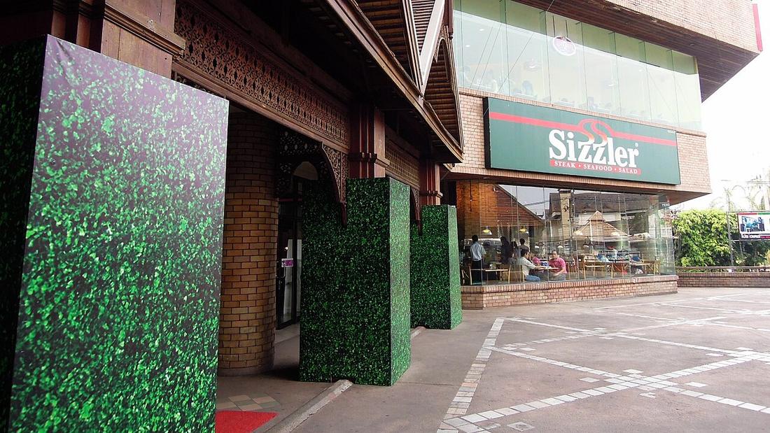 David McKelvey from Brisbane, Australia · CC BY 2.0
1004ทางหลวง
19.4กม.
จาก แจ่งหัวลิน ถึง ดอยสุเทพ
18.8015, 98.9660 · OpenStreetMap · แผนที่
คืออะไร
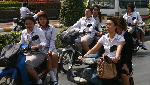
จากแจ่งหัวลินไปทางตะวันตกเฉียงเหนือ ผ่านกาดสวนแก้ว ประตูมหาวิทยาลัย และสวนสัตว์ ถึงตีนดอยสุเทพ ตี้มันกลายเป็นถนนครูบา ช่วงล่างของทางหลวง 1004 ห้วยแก้วถึงพระตำหนักภูพิงค์ รวม 19.4 กม. นับปี 2567 ที่ กม.4 ได้ 11,564 คันต่อวัน บวกจักรยานยนต์ 2,701
เกี่ยวข้องกับ
- ถนนศรีวิชัย What it becomes at the foot of the mountain.
- แจ่งหัวลิน Where it starts.
- กาด Kad Suan Kaew is on it.
ถูกอ้างถึงโดย
- ถนนศรีวิชัย What leads to it.
- แยกรินคำ Its western arm.
- กาด Kad Suan Kaew is on it.
แต่ละข้อความมาจากไหน
| Field | Tier | Source | Note |
|---|---|---|---|
| default | cited | ทางหลวงแผ่นดินหมายเลข 1004 (ถนนห้วยแก้ว) — Wikipedia (th) | |
| text_th | inference | written in Thai by this project, in the northern register where it fits; not machine-translated |
แหล่งอ้างอิง
- ทางหลวงแผ่นดินหมายเลข 1004 (ถนนห้วยแก้ว) — Wikipedia (th)
- ปริมาณจราจรเฉลี่ยต่อวันตลอดปี (AADT) — open data 2560–2568 — กรมทางหลวง Department of Highways
cited Cited — a named source, linked · harvested Harvested — fetched from an open dataset, with its licence · tradition Tradition — general knowledge of the tradition, hedged · inference Inference — this project's own reasoning from the above · field Field — someone stood there