ถนนถนนศรีวิชัย
ห้าเดือนยี่สิบสองวัน 11.53 กิโล บ่มีเครื่องจักร
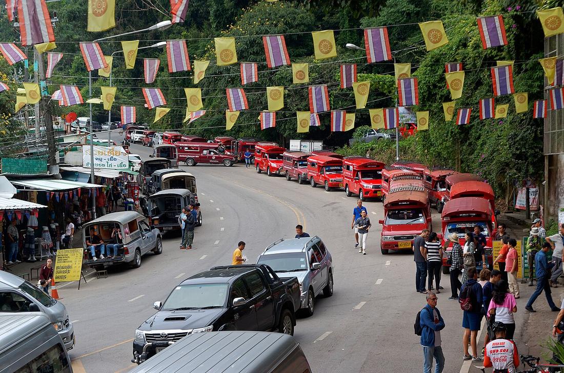 Jakub Hałun · CC BY-SA 4.0
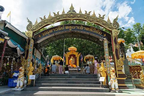
จาก อนุสาวรีย์ครูบาศรีวิชัย ถึง วัดพระธาตุดอยสุเทพ
18.8100, 98.9350 · OpenStreetMap · แผนที่
คืออะไร
ครึ่งบนของทางหลวง 1004 จากอนุสาวรีย์ครูบาศรีวิชัยตีนดอยถึงวัดพระธาตุดอยสุเทพ เริ่มขุด 9 พฤศจิกายน 2477 เจ้าแก้วนวรัฐจกจอบแรก เปิดให้รถ 30 เมษายน 2478 ดินและลูกรัง 11.53 กม. ด้วยแรงศรัทธา
ฉบับยาว
อนุมาน — รถแดงที่พาคนขึ้นคือเศรษฐกิจของถนนสายนี้ และโค้งคือเหตุที่มอเตอร์ไซค์ที่จะไปวงรอบแม่ฮ่องสอนมาซ้อมตรงนี้ มันอยู่ในแผนกรมทางหลวง 2568–70 เพื่อปรับปรุง ซึ่งหมายถึงผิวทาง ไม่ใช่แนว
เกี่ยวข้องกับ
- ครูบาศรีวิชัย Who built it.
- ถนนห้วยแก้ว What leads to it.
- ดอยสุเทพ The mountain.
ถูกอ้างถึงโดย
- ถนนห้วยแก้ว What it becomes at the foot of the mountain.
- เก้าสายทาง 2568–70 On the list.
- 2478 — ถนนครูบา The road.
- แผนที่การรถไฟหลวง 2477 What he built that year.
- ตนบุญผู้สร้างถนนในห้าเดือน The road.
- เจ้าแก้วนวรัฐ He broke its ground.
- ครูบาศรีวิชัย The road.
- ดอยสุเทพ The road up it.
แต่ละข้อความมาจากไหน
| Field | Tier | Source | Note |
|---|---|---|---|
| default | cited | ถนนศรีวิชัย — Wikipedia (th) | |
| text_th | inference | written in Thai by this project, in the northern register where it fits; not machine-translated |
แหล่งอ้างอิง
- ถนนศรีวิชัย — Wikipedia (th)
- Legacy of a white elephant's footsteps — Chiang Mai Citylife
- กรมทางหลวง 9 สายทางเชียงใหม่ 2568–70 — สวท.เชียงใหม่, PRD
cited Cited — a named source, linked · harvested Harvested — fetched from an open dataset, with its licence · tradition Tradition — general knowledge of the tradition, hedged · inference Inference — this project's own reasoning from the above · field Field — someone stood there