TownsMae Hong Son
แม่ฮ่องสอน · Mae Hong Son
The city of three mists, and a provincial capital you can walk across in twenty minutes.
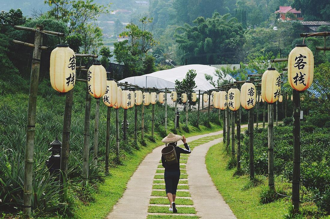 Stephanie Ecate steffny0206 · CC0 1.0
What it is
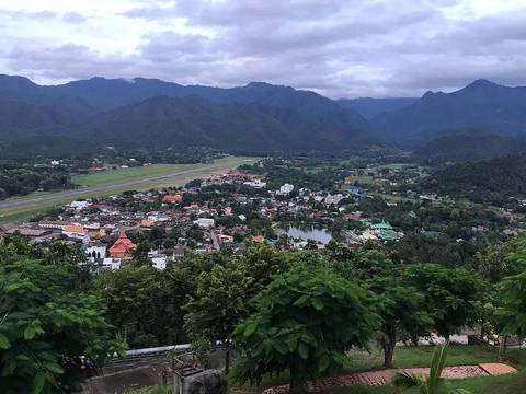
The far end of the loop and the only town on it with an airport, a hospital of size, and a chedi on a hill above the runway. Population small, altitude low, mountains on every side.
The long version
Mae Hong Son province is the westernmost in Thailand and the most mountainous, 12,765 square kilometres at 22 people per square kilometre, the lowest population density of any province. As of 2012 it was also the poorest.
The province was formerly part of Mawkmai State, one of the Shan States, founded in 1767 by Hsai Khiao of a Chiang Mai noble family. The Anglo-Siamese Boundary Commission of 1892–93 ceded Mae Hong Son district to Siam while the trans-Salween districts stayed with British Burma — which is why the border runs where it does, and why the temples in town look Burmese rather than Lanna.
The town itself was established in the early nineteenth century as an elephant training camp, on the order of the then King of Chiang Mai. Shan people are the largest population group in the province; the other named groups are Karen, Lahu, Lisu, Lua, Miao and Pa-O, and Chinese Yunnanese. 77.5 per cent of inhabitants are Buddhist and 20.9 per cent Christian, which is a far higher Christian share than Thailand as a whole.
Now
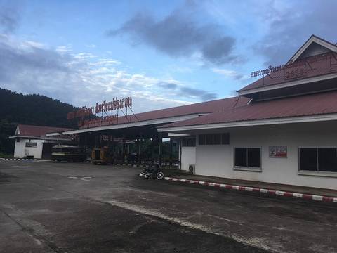
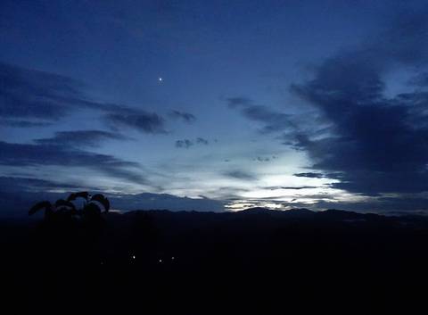
For a rider it is the pivot: the point where the loop turns, the one place with a hospital and a full range of mechanics, and the town that deserves two nights rather than one. The dawn mist that gives the province its nickname is best seen from the chedi on the hill, which means being up before the town is.
Runs with
- watWat Phra That Doi Kong Mu — The chedi above the airstrip, and the dawn.
- personThe Shan — The largest population group in the province.
- legSoppong to Mae Hong Son — The way in from the north.
- legMae Hong Son to Khun Yuam — The way out to the south.
- storyThe smoke — The one air monitor in the province is here.
- eventPoy Sang Long — The festival the town is known for.
- kitSending the bag ahead — The only sensible forwarding address on the circuit.
Named here by
- legSoppong to Mae Hong Son — The town at the bottom.
- stopBan Rak Thai — The town the day starts from.
- stopPang Ung — The town you sleep in to get here at dawn.
- stopSu Tong Pae bridge — The town it is outside.
- stopTham Pla, the fish cave — The town it is north of.
- watWat Chong Kham and Wat Chong Klang — The town they are the centre of.
- watWat Phra That Doi Kong Mu — The town below.
- watWhy the temples here are called Chong — Where the pattern concentrates.
- watWat Hua Wiang — The town it is the centre of.
- dishThe morning market — Where the Shan side of the kitchen is plainest.
- dishThe Yunnanese table at Ban Rak Thai — The town the afternoon starts from.
- springPha Bong hot springs — The town it is south of.
- stayThe teak shophouse — The other one.
- stayWhere to put the nights — The two-night town.
- kitSending a bag on the bus — The far end of the northern leg, with its own station.
- kitNot coming back to Chiang Mai — The town with the airport.
- personThe Shan — The province where they are the majority.
- eventLoi Krathong and Yi Peng — The pond, and the evening.
- eventPoy Sang Long — Where the biggest processions are.
- storyThe villages that charge admission — The province the villages are in.
Where each claim comes from
| Field | Tier | Source | Note |
|---|---|---|---|
| default | cited | Mae Hong Son province — Wikipedia (en) | |
| text.today | inference | ||
| text_th | inference | written in Thai by this project, not machine-translated |
Sources
- Mae Hong Son province — Wikipedia (en)
- Mae Hong Son — Wikipedia (en)
- Mueang Mae Hong Son district — Wikipedia (en)
- Shan State — Wikipedia (en)
- air4thai — national air quality monitoring network — Pollution Control Department, Thailand / กรมควบคุมมลพิษ
cited Cited — a named source, linked · harvested Harvested — fetched from an open dataset, with its licence · tradition Tradition — general knowledge of the tradition, hedged · inference Inference — this project's own reasoning from the above · field Field — someone stood there